
Big Tree Trail on Meares Island
‘Just give me a call when you want me to pick you up,’ said the skipper as he untied the mooring lines. ‘Is there even any signal out here?’ I asked, while still looking for my mobile. ‘If you had signal in town, you’ve got it here too. See you later, and good luck.’ The boat had already pulled away and was heading back to Tofino. The crossing over by water taxi had flown by so pleasantly that the question of the pick-up had not come up at all until just now. The route through Clayoquot Sound led past little islands, and as an encore we got to see a nesting bald eagle up close. On the way, the skipper told us about the history of the island and its significance to the Tla-o-qui-aht First Nation, on whose ancestral territory we were now standing.
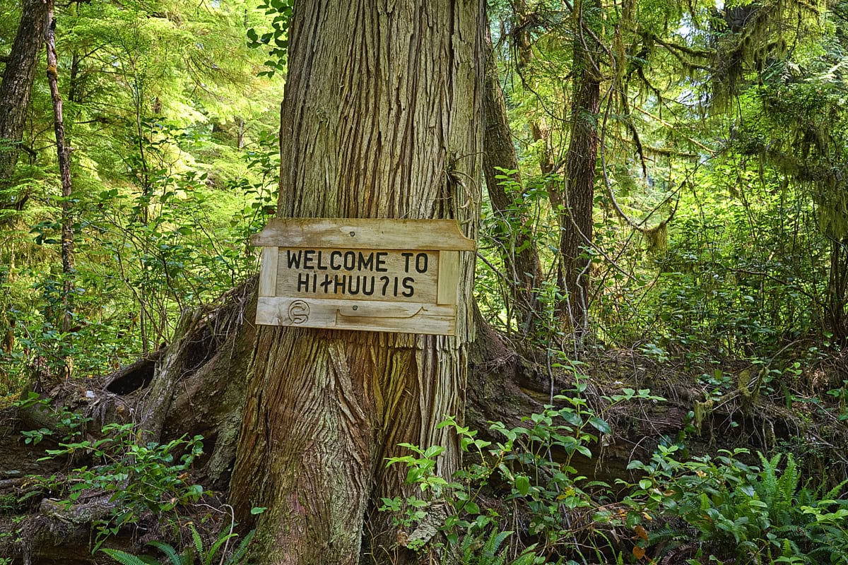
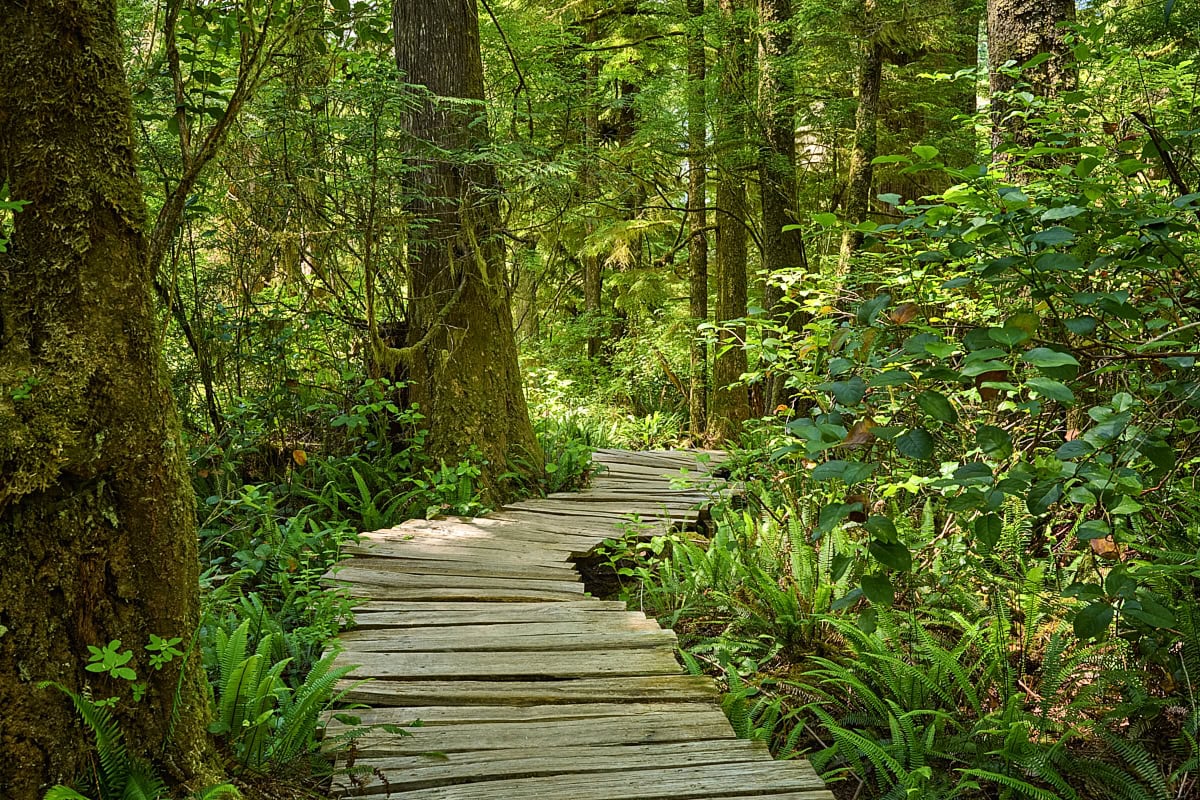
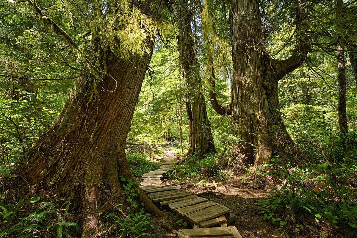
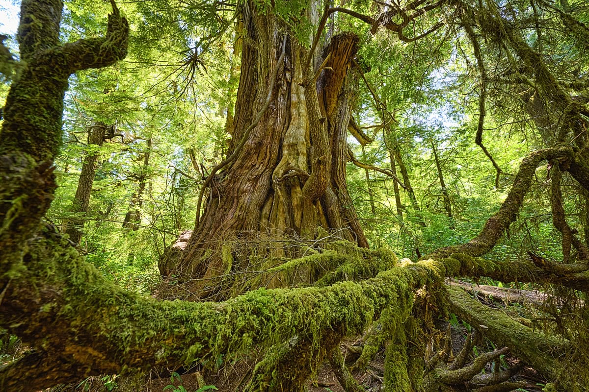
Right at the start of the Big Tree Trail, a hand-carved wooden sign welcomes visitors to ‘Hiłḥuuʔis’, as Meares Island is called in the language of the Tla-o-qui-aht. The fact that this ancient rainforest still exists at all is by no means a certainty. On 21 April 1984, the First Nation declared the island, under Indigenous law, the first of its now four Tribal Parks, thereby halting the planned logging. Beyond the sign the forest closes in around you, and you step into a world enveloped in a gentle tranquillity. Mighty cedars tower into the sky, and many of them bear the weight of several centuries. Especially impressive is the ever-present cycle of growth and decay. Eventually the old giants tumble, and new life sprouts on their trunks. Young trees take root in the rotting wood and moss covers every branch. Everything here is closely interwoven. The Tla-o-qui-aht call it ‘Hišukiš čawaak’, which roughly means ‘everything is one’. Even the boardwalks you walk along were built from fallen trees. So the forest itself provides the path through its own heart.
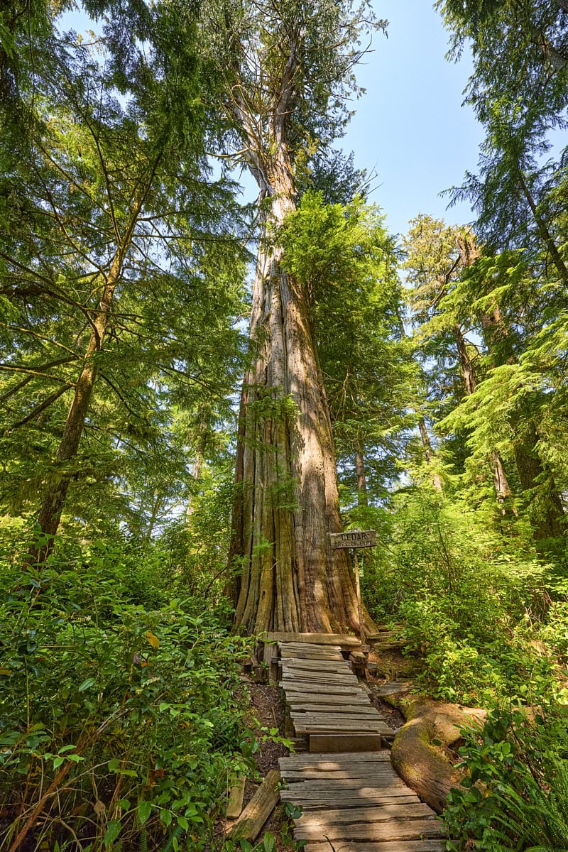
The path through this primeval forest is well waymarked, and yet the hike feels like a little adventure. At times you climb over a tree trunk lying across your path, at others you pass through a tunnel of low-hanging branches and afterwards look for the next piece of marker ribbon to show the way. A real highlight of the trail is the Tree of Life. This majestic Western Red Cedar is estimated to be more than 1000 years old. A boardwalk branches off from the main trail and leads straight to it, so that you can pay homage to this king of trees. You don’t have to kneel down to do so, by the way. The tree is so huge that even standing up you feel tiny next to it.
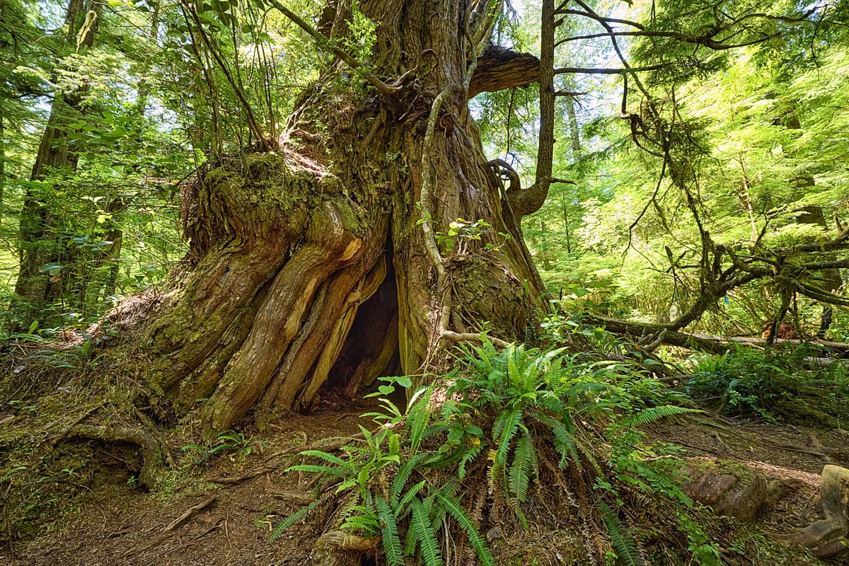
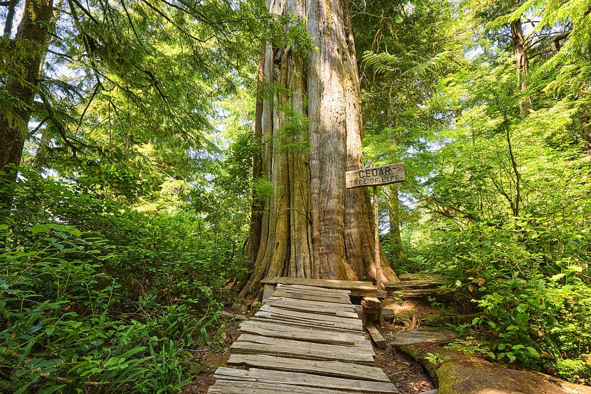
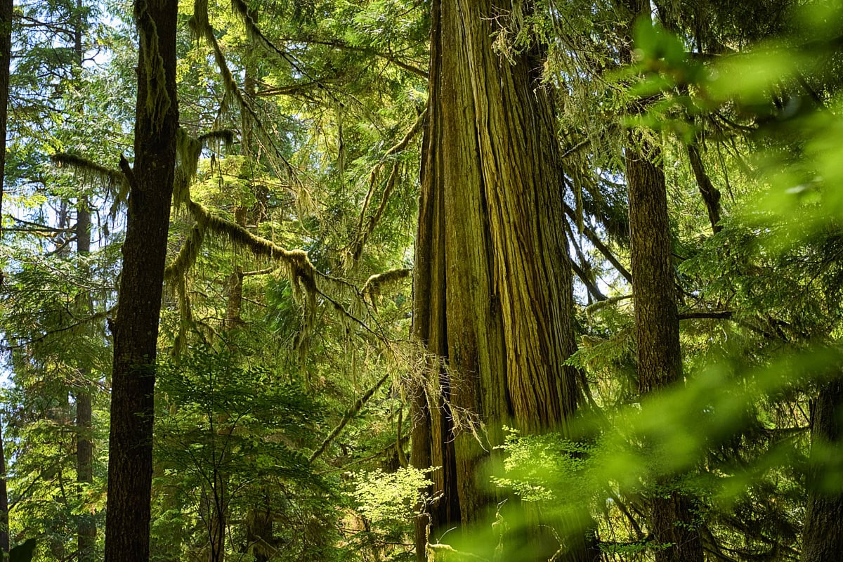
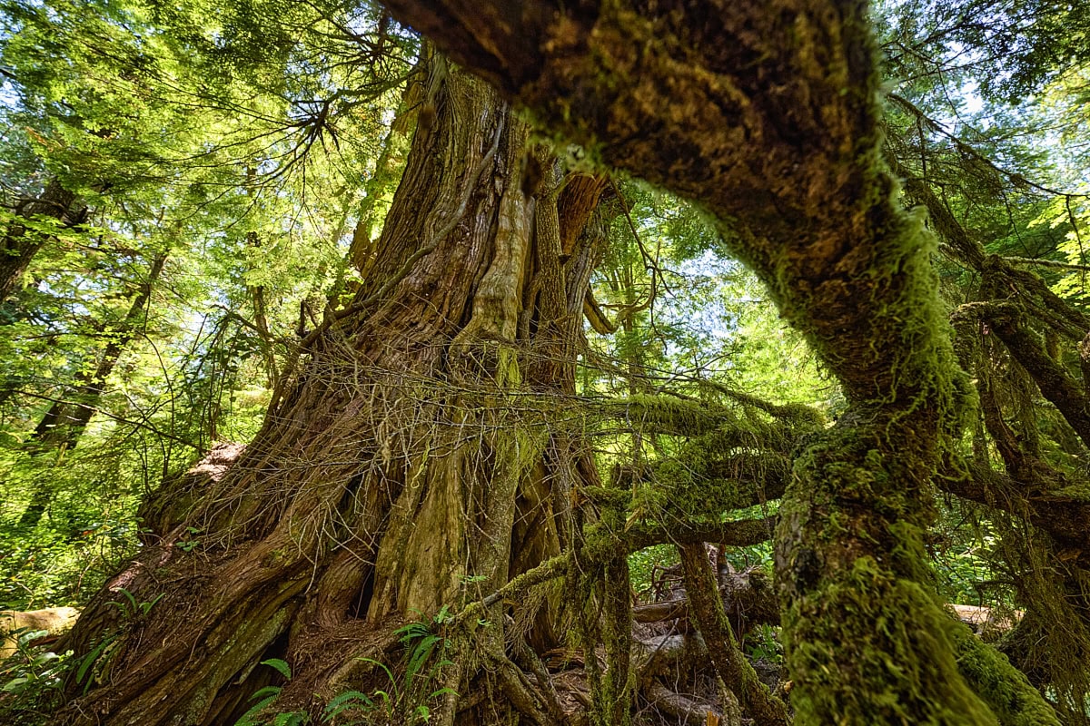
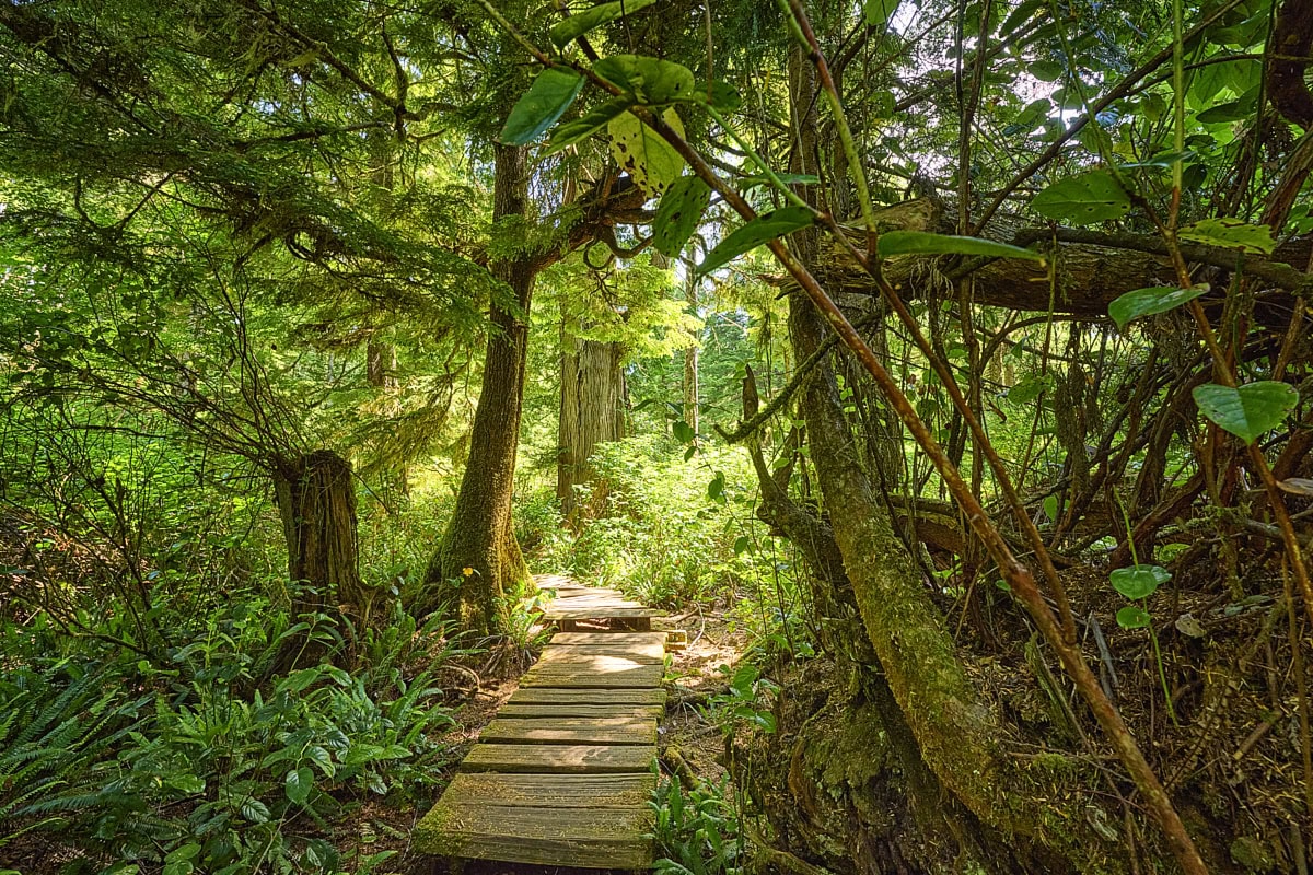
Meares Island is blanketed by dense green. This not only reinforces the feeling of being cut off from the outside world, but also offers photographic advantages. The light is softly diffused. Ideal conditions, then, for forest photography, where direct sunlight is often distracting because of the harsh contrasts. There was also no shortage of subjects. Besides the old trees, it was above all the path that wound its way between them as a leading line. In the distance it vanished into the thicket or opened out into a bright clearing. Such lines and transitions awaken curiosity and draw the eye deep into the picture. Branches and leaves in the foreground offer an obvious compositional tool in the forest. If you shoot through them, you get natural frames and can steer attention to a single element, such as a massive trunk.
By the end of the day, the skipper turned out to be right. The mobile signal was surprisingly good and the pick-up was arranged without a hitch. Incidentally, he himself was also very keen to see us again. After all, he was not paid until we were back in Tofino.
Location
Located in Clayoquot Sound, in the west of Vancouver Island, Canada. (Maps)
Photography opportunities
Ancient rainforest and secluded trails.
Best time to photograph
Only during the day, as you’ll need to take the water taxi.
Photo gear I used
Camera, lenses ranging from wide-angle to telephoto.
Photography tips
Have your camera already ready during the crossing.
Allow plenty of time on the trail, as there’s a whole variety of classic photographic opportunities on offer.
Parking
Best to park directly on Olsen Road in Tofino (Maps). At the end of this road is the pier from which the water taxi departs.
Walking Distance
The trail is around 4 km long and it took us 3 hours to complete it.
Where to Stay Nearby
In Tofino.
Related posts
Hi I’m Stefan
On my blog, I take you along on my travels, write about photo locations, and share insights into my work as a landscape photographer.
Join my Newsletter
Subscribe to my free, monthly newsletter and get exclusive discounts, travel stories and insights about photo locations, and be first to hear about new releases and more:
By clicking on ‘Subscribe’, you agree that we may process your personal data in accordance with our privacy policy.
